
Some impressions of TPBR22


I needed some time to digest Three Peaks Bike Race 2022 and had also other projects. Finally, here is my summary, part one:
The Route, the Race
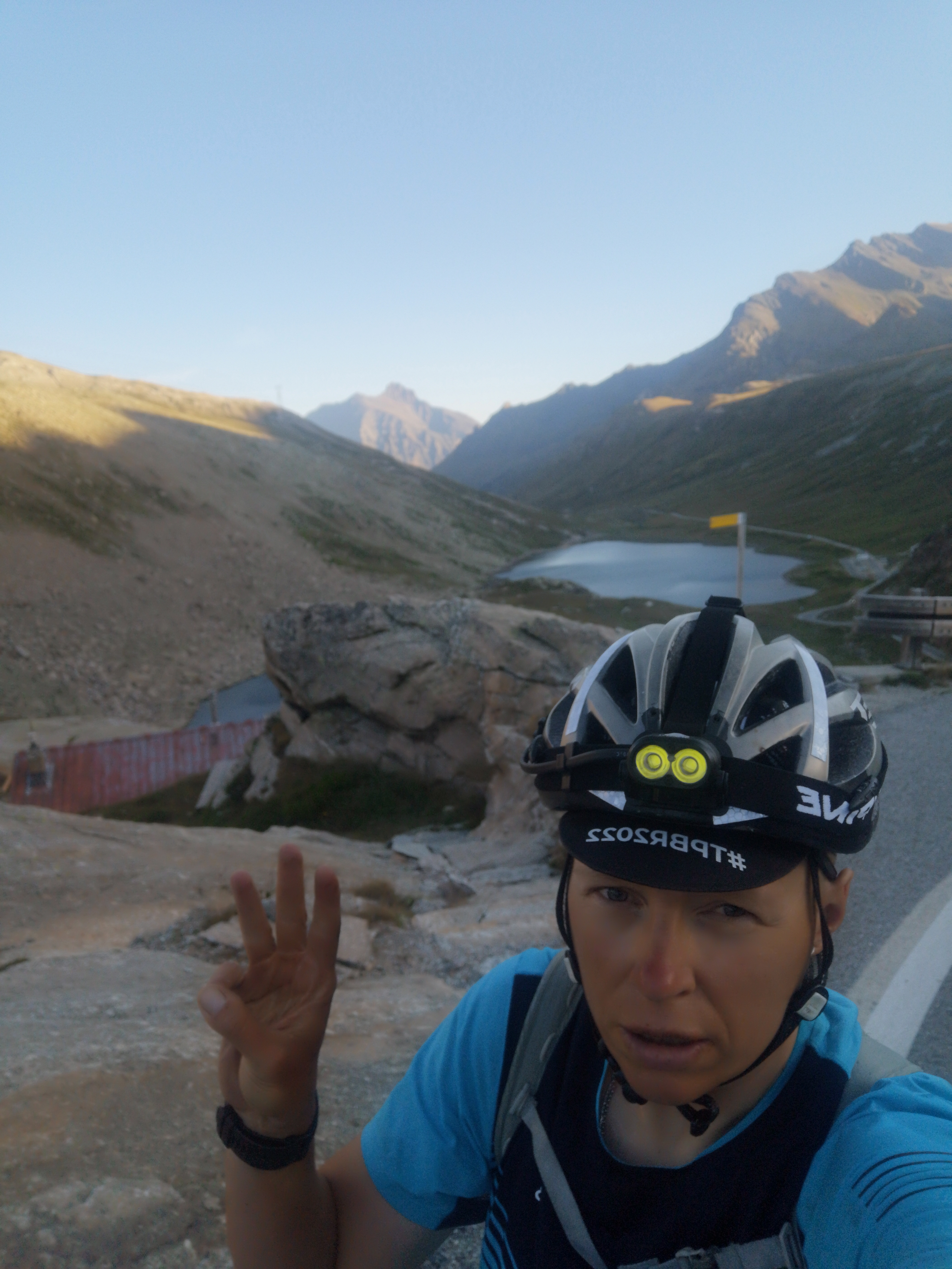
During Three Peaks Bike Race 2022 I rode 2248km with 32.570m ascent in 238 hours. That means: I averaged almost 225km a day with 3.257m ascent for 10 days.
As a rookie I did not have too high expectations, I wanted to finish within the given time and I managed that comfortably.
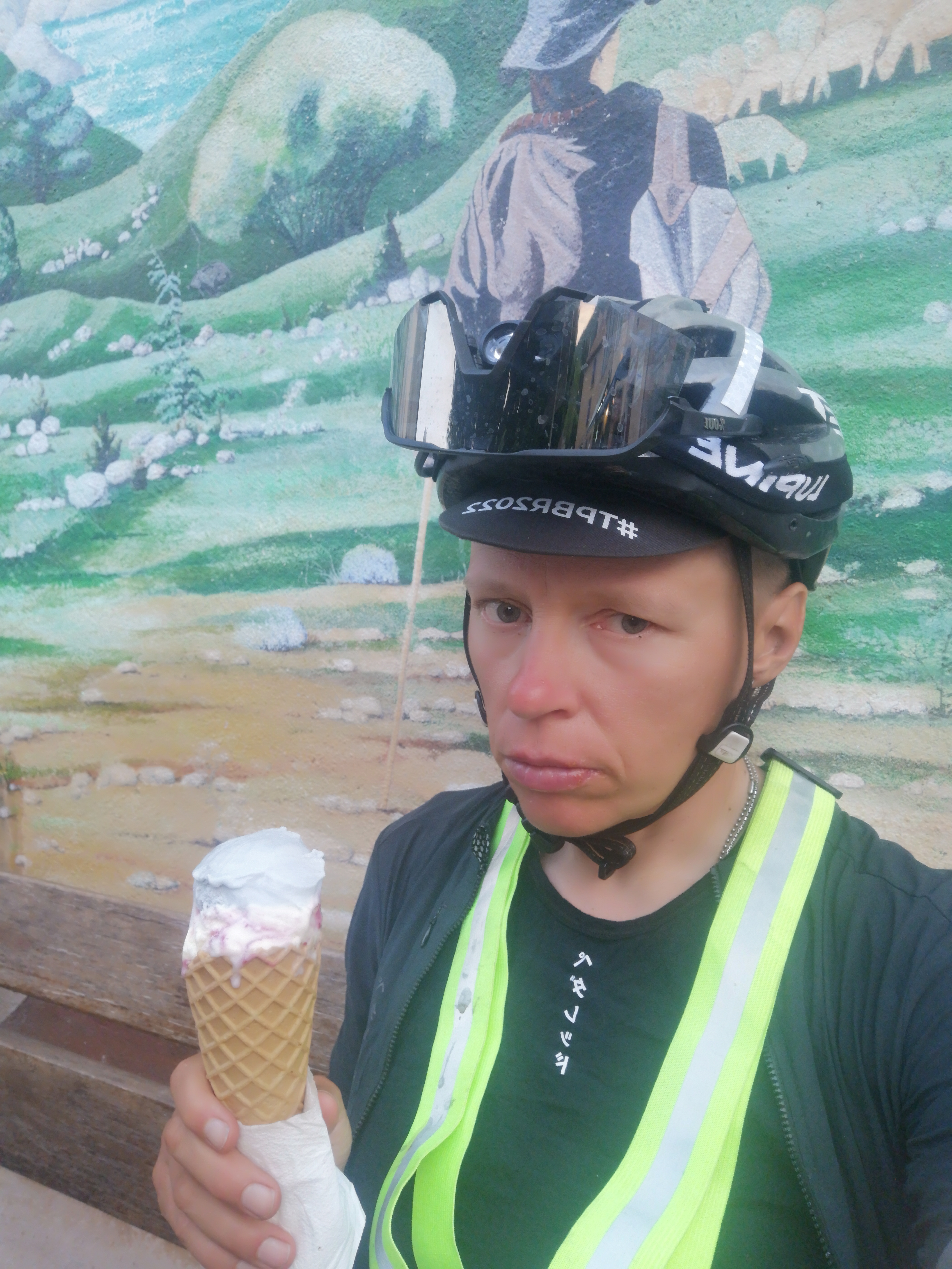
My moving time was 127 hours and 19min, that means for about 111 hours the bike stood still. That’s a lot. So my ratio between moving and standing time was about 60% : 40% (the top riders have at least 70 to 30% or even 80 to 20%). There is certainly a lot of room for improvement of efficiency. I slept a lot (4 to 6 hours a night, only the last night I cycled through) and I also stopped for meals and lots of ice-cream and coffee.
My strategy was to start quite conservative to not run myself into the ground and stop less in the second half of the race. I did not dotwatch the others (also not in the end), because I did not want to make myself crazy and I had enough on my plate.
Only on day 3 I took a quick look and was astonished how many riders had already scratched (btw: of the 250 riders at the start in Schönbrunn only 90 made it to Nice).
I had done only one ultra endurance race beforehand (Upper Austria Challenge unsupported) and I have a lot of experience in bikepacking, but I did not know what I was capable of during a multiple day bikepacking race. How I would handle sleep deprivation was a big question for me.
I had trained a lot for TPBR22 (about 10.000km in 6 months), had done 3 training camps (at home), some overnighters to get the nervous system used to sleeping outside and I had trained my digestive system to handle gas station food. I could metabolize nearly everything (more about that later). Before that, I also did a very helpful performance test (Spiroergometrie + Laktat) at Stephan Werner’s lab WE SPORTS – DAS INSTITUT FÜR LEISTUNGSDIAGNOSTIK. His testing gave me the foundation for my training plan to improve fat metabolism (which is crucial for that kind of event), lose a few pounds (important when you think of the altitude) and maximize carbohydrate intake.
I knew though that the route planning would be my biggest weakness, because I did not spend enough hours on that. I planned my route with Komoot (some say that was the first mistake) and compared it a little bit to Google Maps and Strava. Obviously, some things I did not want to know too well.
The route of the first day in Austria was obvious. I had stopped very early after 235km, because I wanted to sleep the first night (maybe too careful). The second day took me to Toblacher See in South Tyrolia. My strategy was to do the big climbs and checkpoints in the morning when I would be fresh and rested. First checkpoint Tre Cime was hard, but nothing new. It felt good to have one checkpoint already done. After that, a mandatory parcours took me to Cortina d’Ampezzo and Passo di Giau. Here I noticed that some riders came back from the top. I assumed they would take the Fedaja to get to Bozen, because I had thought about that. But no. On that day I only got 180km done with exhausting 4200m altitude through the beautiful Dolomites (with half the Sellaronda in the end), while others were heading to Innsbruck over the Brenner, Inntal and Arlberg into Switzerland to the 2nd checkpoint Melchsee-Frutt with just a little bit more kilometers and much less ascent. Here I lost a lot of positions in the classification.
I had wasted a lot of energy in the mountains, but it was certainly the nicer route. The field of competitors was divided into two groups, one in the north (over Innsbruck), the other one made their way through the Dolomites.
In Bozen I spent the first night in a hotel to get some good sleep, wash clothes and recharge all devices. The day after I had quite a difficult phase, I just felt overwhelmed by the whole thing and thought a lot about quitting. What really helped me to push through this black hole was to know that so many friends and fellow cyclists were watching my dot online and they did not want me to stop. So I continued.
The climb on Melchsee-Frutt in Switzerland was the end of day 5. I had to stop very shortly before the 2nd checkpoint, because it was getting dark and the locals told me there was a 2km trail section that was too dangerous at night. If I had done my homework, I would have known better.
But the real adventure started at the ascent of Colle de Nivolet in Italy. After a long day in Piemont and the astonishing national park Gran Paradiso I came to the bottom of the climb that would take me to the 3rd checkpoint. I heard about an alpine trail and that the leader of the race got lost there. We are talking about a 500m ascent on a hiking trail with huge rocks where you have to carry the loaded bicycle for almost 3 hours. It was absolutely exhausting. Hikers came down and wished me ‘bonne chance!’ At about 2500 meters altitude I lost the trail that would have led to a gravel road towards the summit. It was 7pm and I almost panicked. What are my chances if I have to spend the night here? I was really terrified of that. A hiker saved me by showing me the gravel road on a steep uphill. He said: If I were you, I would try to get on top of that.
I had to drag the bike through gras land, cross a creek and climb up a very steep slope to finally get to the gravel road and make it to checkpoint 3. I took the descent and was done for the day.
On the next day I crossed the border to France and cycled my ass off to get to Mt. Ventoux. But this was not the last obstacle. The heat started really bothering me. I reached the summit around noon and when I cycled down to Malaucene I thought I was being cooked alive. The heat was unbearable. I dragged myself from shade to shade to ice-cream to fountain and in the shade again. One time I ran out of water and had to stop a car and beg for something to drink. A very kind French woman helped me with her water bottle.
What I did not know is that others felt even worse. I was making progress in terms of classification.
The finish parcours was a collection of many astonishing views that the South of France has to offer, beautiful sights, picturesque villages, but it was also brutal. Montagne de Lure was another over 20k climb and it just did not stop. A little extra loop with 600m ascent at the Gorges du Verdon was the last thing I needed, but I have to admit, the view was worth it. After that I decided to ride through the (last) night which was also much cooler. I think the Col de Soleilhas was the last climb (much easier than everything before) and after that I got into a valley that was surprisingly cold and foggy. I thought about how the great native poet Frederic Mistral called Provence ‘a cold country with a hot sun’. Nature is never moderate there.
Until 5am in the morning I met nobody, only a dog that blocked the road and really scared me. I went through dozens of corners in the hills waiting for a view of the Mediterranean Sea. After hours in those hills, I finally see the first sign: Metropole Nice – Cote d’Azur. Terre de Cyclistes. Tears run down my face. I get into morning traffic and all of the sudden I cycle under palm trees at the beach. What a rewarding goal.
